Price moves with property size and complexity, capture method, required accuracy, deliverable format, site access, urgency, and whether a licensed or permit-specific survey is required. This article covers current US pricing examples, what sits behind a quote, how low-cost and premium scopes differ, and when a 3D scan earns its fee.
Key Takeaways
- No universal as-built price exists, because the term covers different scopes.
- Deliverables, access, accuracy, and licensing often matter more than square footage.
- Small, simple, single-floor jobs cost less than MEP-heavy, occupied, or permit-driven ones.
- Spend more when the record guides design, supports disputes, or prevents rework.
How Much Does an As-Built Survey Cost? (Pricing Overview)
Providers quote by scope, not by a single rate. Common pitfalls include:
- Underbudgeting the full scope
- Comparing unlike deliverables
- Finding exclusions only after fieldwork starts
The figures below are published examples from individual firms, not national averages or guaranteed quotes.
Basic measured drawings
Floor Plan Visuals publishes basic as-built floor plans at $409 for 0-1,000 sq ft up to $679 for 3,000-4,000 sq ft. As Built LA cites a broader $2-$5 per sq ft for drawing work that can extend to ceilings, MEP, elevations, and sections.
Typically included: on-site measurements and floor plans
Typically excluded: CAD release, elevations, and sections (quoted separately)
Note: Measurements are approximate and need independent verification.
Best for: straightforward remodel planning or simple documentation where you don't need a reusable point cloud.
3D scan and point-cloud capture
Arrival 3D's 2026 guide lists point clouds at $0.02-$0.08 per sq ft, all-in for capture and processing. Scanner setup, registration, processing, hosting, exports, and requested accuracy all shape the quote. Firms may also apply minimums; DynamicJT in Houston, for example, lists a $5,000 minimum at $0.25-$0.50 per sq ft.
Typically included: a point cloud, panoramic imagery, measurements, or an interactive walkthrough, plus shareable access. Confirm which of these you're actually getting.
Best for: complex spaces, remote collaboration, condition preservation, insurance or legal coordination, and projects where teams will revisit the record.
Scan-to-CAD, scan-to-BIM, and high-detail work
Arrival 3D's published all-in ranges:
- Scan-to-CAD: $0.06-$0.20 per sq ft
- Scan-to-BIM, LOD 200: $0.10-$0.30 per sq ft
- Scan-to-BIM, LOD 300: $0.18-$0.50 per sq ft
- Detailed BIM, LOD 350+: $0.30-$0.80+ per sq ft
Typically included: editable CAD or Revit files at a stated level of detail, plus quality control and revisions. Whether a signed-and-sealed survey is included varies, so ask.
Best for: renovation design, construction coordination, clash review, facility management, permit submissions, and long-term digital asset management.
Why per-square-foot figures mislead on small jobs
Per-square-foot rates help with early budgeting. On small projects they mislead, because mobilization, minimum fees, travel, setup, processing, and deliverable production don't scale with area. Arrival 3D puts small commercial jobs under 10,000 sq ft at $1,500-$4,000, far above what a simple multiplication would suggest.

Key Factors That Affect the Cost of an As-Built Survey
Price is the combined result of technical, operational, professional, and business requirements. Size is only one input.
Survey type, scope, and deliverable
A boundary survey, interior measured drawing, point cloud, CAD set, BIM model, and interactive walkthrough serve different purposes. Comparing them as equivalent products is the most common budgeting mistake.
Property size, layout, and complexity
Larger properties and multiple floors mean more scan positions, more drawing sheets, and sometimes multiple visits. Irregular geometry, curved or historic elements, tall ceilings, exposed MEP, and accessory structures all add time. There's no universal floor surcharge. Providers price this differently.
Site access and existing conditions
Cost rises with:
- Occupied spaces and restricted access windows
- Security procedures, furniture, and obstructions
- Poor lighting or hazardous areas
- Above-ceiling scanning
- Difficult terrain
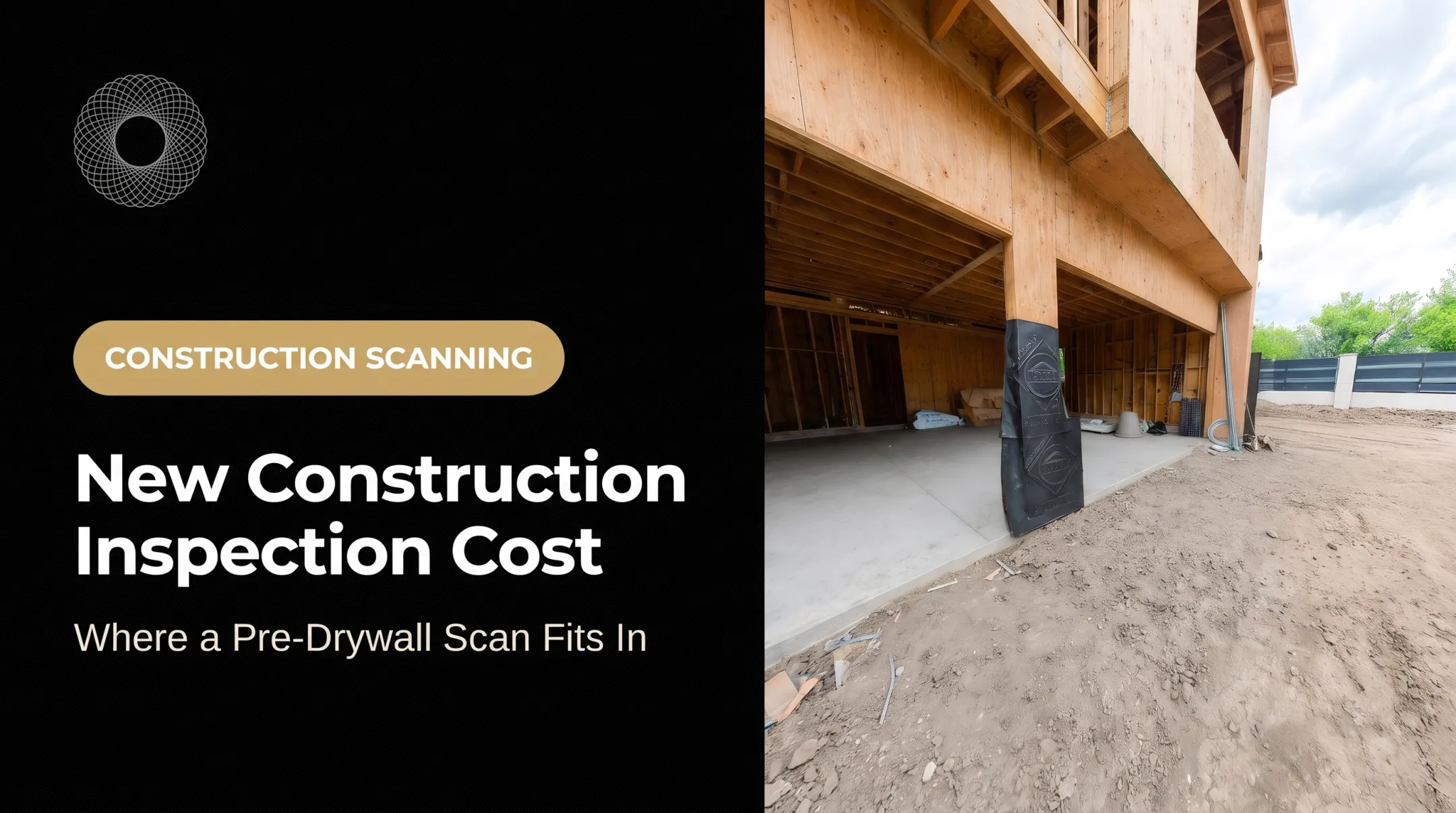
Timing matters too. A scan taken after framing but before the ceiling grid captures piping that disappears later. GPRS did exactly this on a 40,000 sq ft Cincinnati office.
Accuracy, compliance, and turnaround
Tighter tolerances require more control and more checking. USIBD's Level of Accuracy specification (version 3.1, 2025) defines required tolerances. It is separate from BIMForum's LOD, which describes model development, not measurement accuracy. Specify both.
Licensing is jurisdiction-specific. DeKalb County, Georgia, requires a sealed as-built lot survey from a licensed architect, engineer, or surveyor before occupancy of new houses and large additions. That doesn't make a seal universal for every interior drawing, so check your building department.
Rush work costs more. Arrival 3D quotes 3-5 business day delivery at a 25%-50% premium over its standard 2-4 weeks.
Location, travel, and repeat visits
These add cost even when the documented area is modest:
- Travel distance and parking
- Mobilization and phased construction
- Multiple buildings
- Follow-up visits
Future updates can add recurring charges.
Cost Breakdown of an As-Built Survey and Low-Cost vs High-Cost Options
Measuring time is only part of the price. A low quote may omit processing, quality control, editable files, data ownership, or future usability.
Where the money goes
- Field capture and mobilization: technician time, equipment, travel, setup, control points, and scan positions. Empty spaces go quickly; occupied or complex sites need coordination and return visits.
- Registration and cleanup: aligning scan positions, removing unusable data, organizing the cloud, and verifying measurements.
- Drawing, modeling, and extraction: a PDF floor plan takes far less labor than editable CAD, detailed elevations, MEP documentation, or BIM.
- Quality control and delivery: checking output against field data, corrections, file conversion, revisions, hosting, and export rights. Later updates or repeat scans cost extra.
Field pace varies widely. Arrival 3D's Eagan, Minnesota project, for example, captured 30,000 sq ft in 3 days.
No reliable universal split between field and office labor exists, so ask each provider to show its own.
Lower-cost versus higher-cost scope
| Factor | Lower-cost | Higher-cost |
|---|---|---|
| Usability | Fewer views, limited reuse | Reusable spatial record |
| Precision | Approximate measurements | Stated tolerances |
| Editability | Static PDFs | CAD or BIM files |
| Verification | Minimal | Quality-controlled |
A limited scope suits a simple project with a narrow purpose. A scan-backed, quality-controlled package makes more sense when errors would affect construction, claims, design coordination, or disputes.
When a 3D record is worth it
Vroomk's capture service is priced from $1.50 per square foot (with a $300 advance and 60-mile coverage). It produces a browser-based walkthrough with measurable lengths, heights, and areas plus exportable stills.
A seller used a Vroomk Condition Preservation link to filter for serious buyers and cut repetitive showings. A construction user said milestone scans ended repeated requests for the same corner that had been asked for five times, and preserved rough-in evidence after the walls closed.
This is documentation support. It isn't automatically a replacement for a licensed or stamped survey.
Compare the fee against the alternative. PlanGrid and FMI's 2018 report estimated rework at 5% of construction costs, with 48% of it traced to inaccurate, inaccessible, or incompatible project data. That's historical context, not a guaranteed scanning savings. Still, Hunzinger's 2025 point-cloud overlay found column lines 13 inches off before they caused field rework.

How to Estimate the Right Budget and Avoid Missed Costs
Start with the decision the record must support: design, construction coordination, insurance, litigation, property management, maintenance, marketing, a permit submission, or several at once.
Define the scope before requesting quotes
Gather this before contacting providers:
- Property size and floor count
- Access conditions and any existing drawings
- Areas required and desired accuracy
- Deadline and file formats
- Required professional credentials
Compare proposals like for like
USIBD recommends specifying services in an RFP so bids are comparable. Ask each provider to itemize:
- Fieldwork and travel
- Processing, drawings, or modeling
- Quality control and revisions
- File formats, hosting, and licensing
- Taxes and extra visits
Then ask:
- What capture technology is used, and what accuracy is stated?
- Is the point cloud retained, and who owns the data?
- Will a licensed surveyor be involved?
- Is the output suitable for permits?
- What happens if field conditions differ from expectations?

Avoid false savings and timing mistakes
Ordering after utilities or framing are concealed raises effort and may make some conditions unrecoverable. Evidence behind drywall is gone unless scanned first. The cheapest quote can also cost more later if it lacks verification or usable source data.
Confirm building-department and legal requirements before choosing a provider. Allow standard delivery time rather than paying a rush premium.
Conclusion
As-built survey cost depends on how the service is defined, plus property complexity, capture method, deliverable, access, accuracy, compliance, and timeline. Square footage is only one factor.
The right budget balances upfront price against reliability, reuse, and the consequences of incomplete documentation. Request a detailed, scope-based quote before work begins.
Frequently Asked Questions
What is included in an as-built survey?
Inclusions vary. They may include field measurements, locations, elevations, drawings, point-cloud data, CAD or BIM files, quality control, and professional certification. Confirm the exact deliverables in writing.
What is the difference between a survey and a boundary survey?
"Survey" is a broad term. A boundary survey locates legal property lines, corners, and easements. An interior 3D scan is not automatically a boundary survey.
How much does an as-built survey cost?
Published US examples range from about $409 for small basic floor plans to $0.02-$0.08 per sq ft for point clouds and $0.18-$0.50 per sq ft for LOD 300 BIM. Complexity, deliverables, access, accuracy, and licensing set the final quote.
Is a 3D scan worth the cost for an as-built project?
Yes, when the reusable spatial record, measurability, and coordination value reduce rework or support disputes. For a simple remodel with a narrow purpose, basic measured plans may be enough.
Does an as-built survey include CAD drawings or a 3D model?
Not automatically. CAD, BIM, point clouds, and interactive walkthroughs are separate deliverables unless the proposal includes them. Confirm file format and level of detail in writing.
When should an as-built survey or 3D scan be completed?
Before conditions are concealed, altered, demolished, or disputed. Confirm any inspection, permit, claims, or litigation deadlines first.