Introduction: Property Damage Assessment Needs More Than a Photo Folder
After a loss, a folder of photos can show the damage. It often can't show where that damage sits, what surrounds it, or how conditions changed before repairs began.
Reviewers end up guessing which room a close-up came from and whether the stain continues behind the next wall.
A walkable 3D record fills that gap. It gives everyone a connected, revisitable view of the property. Photos, video, measurements, notes, receipts, and expert reports still matter. They work best when anchored to a spatial reference.
This article covers what an assessment must capture, where 3D helps, how to build the record, and where its limits lie.
Key Takeaways
- Photos capture single views; a 3D record preserves how rooms, surfaces, and damage points relate.
- Interactive records support remote review, measurements, and scope discussions among all parties.
- The strongest file pairs 3D with close-ups, video, notes, metadata, and financial records.
- A 3D record isn't automatically admissible or immutable; preservation and access control still matter.
Property Damage Assessment: What It Must Capture
Property damage assessment is a systematic evaluation of damaged and undamaged conditions, likely causes, affected materials, contents, repair needs, and financial or operational impacts. Definitions vary by program. FEMA's damage assessment manual, for example, is specific to disaster-related damage to eligible facilities.
Damage Versus Context
A good assessor documents more than the damaged surface:
- The full room and adjacent areas
- Access routes and building systems
- Pre-loss condition, where available
- Areas that were not affected
Unaffected areas matter. They show where damage stops.
The Supporting Record
A claim or dispute file typically needs more than images:
- Dates and room or area identifiers
- Dimensions and materials
- Appliance serial numbers
- Mitigation activity and repair actions
- Receipts and expert observations
The NAIC and FEMA both advise documenting the loss, listing damaged property, keeping receipts, and labeling photos or video by room.
Where Photos Fit
Photos and video remain essential for close-up detail, visible defects, contents, debris, and progress updates. The trouble starts when hundreds of images sit apart from any property-wide reference. Sorting them later is slow, and interpreting them is harder.
Why a Walkable 3D Record Beats Photos Alone
A walkable 3D record complements photos rather than replacing them. It adds a spatial layer alongside photos, inventories, and insurer-required documents.
It Preserves Spatial Relationships
A close-up of a damaged wall shows the wall. A walkable record shows the room, the doorway, the adjacent surfaces, the nearby plumbing, and exactly where the damage sits.
It Shows the Full Extent of Loss
A continuous walkthrough reduces doubt about whether an area was fully inspected. Reviewers can follow damage into adjoining spaces and see how affected and unaffected areas relate.
It Supports Later Measurement and Review
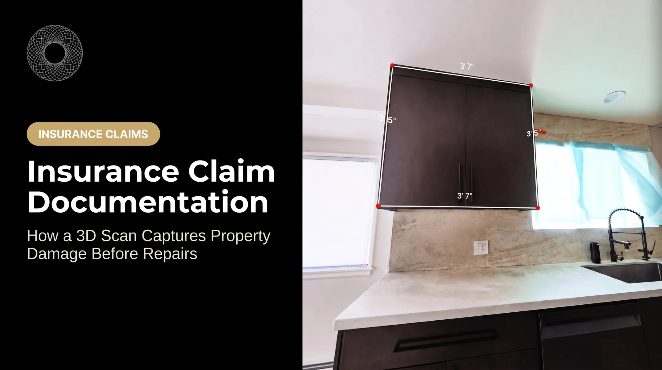
Authorized reviewers can revisit areas remotely and take measurements where the capture supports it.
Be cautious, though. Matterport's own measurement guidance says error depends on several factors, can accumulate across a chain of measurements, and can be unreliable on reflective surfaces. Confirm critical dimensions with professional methods.
It Improves Multi-Party Collaboration
Attorneys, adjusters, restoration teams, contractors, owners, and experts can open the same scene instead of trading separate photo folders and repeating explanations.
It Records Change Over Time
Captures at the initial, mitigation, demolition, repair, and completed stages let teams compare conditions and discuss what is no longer visible.
Matterport's Dalworth Restoration case study describes a pre-mitigation scan at the start of each project, used to assess damage, scope work, and share with stakeholders. Dalworth reports faster estimating and fewer disputes. Those outcomes are company-reported, not independently verified.

How to Build and Use a Walkable 3D Record
Capture the Property Before Conditions Change
Start with safety. Follow access restrictions, authority instructions, and insurer guidance. Don't enter an obviously unsafe building. Emergency mitigation shouldn't wait for an inspection.
When safe and permitted, document before cleanup, demolition, or repair alters the scene. An ABA article, "The Building Is Evidence,", reviews disputes where repair or demolition removed evidence. Ask counsel or the insurer about preservation before destructive work.
Plan a Systematic Capture Route
Work room by room, the same way every time. Note:
- Property, date, area, and direction of travel
- Visible damage and undamaged reference areas
- Contents and building systems
- Locations you couldn't access
Combine the 3D Record With Supporting Evidence
Pair the walkthrough with:
- Close-up and wide-angle photos
- Narrated video
- Written notes and sketches
- Moisture or other inspection readings
- Invoices, estimates, receipts, and reports
- Pre-loss documentation
Share One Controlled Reference
Vroomk creates interactive walkthroughs, supports in-scene measurements, exports still images, and provides private shareable links for adjusters, attorneys, and contractors.
In one ceiling-collapse case, the scan was completed within hours and the link shared within two days, before the insurer removed the damaged materials. The homeowner sent the private link to an attorney.
Decide who receives each link and why. A link grants access; it does not secure the underlying file. Nothing here implies automatic legal admissibility.
Preserve Versions and Document Handling
A walkthrough is judged within the broader file. Keep:
- Consistent file names and timestamps
- Capture notes and backups
- Access logs where available
- Version control and retention periods
- A record of who supplied or modified related evidence
NIST's evidence guidance describes chain-of-custody records, access controls, logging, and hashes to show digital evidence hasn't been altered. Federal Rule of Evidence 901 still requires enough support to show an item is what its proponent claims.

Who Benefits from a Walkable 3D Property Record
Attorneys in Property Damage and Construction Defect Disputes
A walkable 3D record helps counsel:
- Orient experts and prepare for inspections
- Compare claimed conditions with surrounding areas
- Reduce repeat site visits
A spatial record also clarifies conditions before alteration. Confirm evidence requirements with qualified counsel.
Insurance Claims and Restoration Professionals
Adjusters and restoration teams use the same record to:
- Review loss areas remotely and coordinate scope
- Document mitigation and repair progress
- Compare damaged spaces with undamaged areas
That beats working from a disorganized image set.
Contractors, Owners, and Property Managers
Recurring captures support progress records, subcontractor coordination, as-built reference, and future service work. They also help prevent disputes over concealed conditions.
Before drywall goes up, framing, MEP, and rough-in conditions are visible. After, that evidence is gone unless someone captured it.
Practical Limits, Implementation Checklist, and Final Takeaway
Safety, Access, and Capture Quality
A scan only shows what the crew can safely reach and light. Common limits include:
- Unsafe or debris-filled areas
- Poor lighting and distant dark zones
- Restricted or no-access rooms
- Mirrors and other reflective surfaces
- Privacy-sensitive spaces
Matterport notes that distant areas can appear dark or incomplete, and mirrors disrupt capture. Similar constraints show up across platforms. Bring in professional inspection and proper equipment when conditions demand it.

Protecting Sensitive Information
Interior scans reveal a lot. The FTC privacy guidance recommends collecting only what you need, securing it, and disposing of it securely. In practice:
- Use private links and role-based access
- Store and back up securely
- Set retention periods
- Redact or restrict personal, financial, legal, and security-sensitive details
Checklist and Conclusion
- Document early when it's safe
- Capture systematically
- Preserve spatial context
- Add detailed photos and records
- Keep a defensible file history
Use the walkable record to tighten coordination across adjusters, contractors, and counsel. It does not replace on-site experts or policy requirements.
Frequently Asked Questions
What does $25,000 in property damage mean?
It usually refers to an estimated or documented cost of repair, replacement, contents, or mitigation. It can also be a policy limit. The exact meaning depends on scope, policy terms, deductibles, and jurisdiction.
How do I get compensation for property damage?
Report promptly, stay safe, and document thoroughly. Keep receipts and estimates, and cooperate with the insurer or responsible party. If there's a dispute, get qualified legal or insurance advice.
What does property damage assessment mean?
It is the organized inspection and documentation of damaged and undamaged property, affected contents, and repair needs. The evidence supports planning, claims, or dispute resolution.
What are examples of property damage?
Common examples include:
- Water intrusion
- Fire and smoke damage
- Storm or structural damage
- Damaged finishes, systems, or contents
- Construction defects